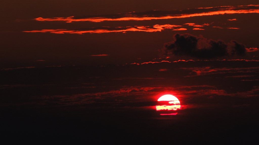
GÜN BATIMI - Fotoğraf: Afettin Baltacı |
| ImageDescription | |
| Image title |
| Marka | NIKON |
| Manufacturer of image input equipment |
| Model | COOLPIX P510 |
| Model of image input equipment |
| Orientation | 1 |
| Orientation of image |
| XResolution | 300 |
| Image resolution in width direction |
| YResolution | 300 |
| Image resolution in height direction |
| ResolutionUnit | 2 |
| Unit of X and Y resolution |
| Software | COOLPIX P510 V1.0 |
| Software used |
| DateTime | 2013:07:16 20:26:41 |
| File change date and time |
| YCbCrPositioning | 2 |
| Y and C positioning |
| ExifTag | 314 |
| Exif IFD Pointer |
| GPSTag | 1002 |
| GPSInfo IFD Pointer |
| ExposureTime | 0,003125 |
| Exposure time |
| FNumber | 7,6 |
| F number |
| ExposureProgram | 1 |
| Exposure program |
| ISOSpeedRatings | 100 |
| ISO speed ratings |
| Tag#34864 | 1 |
|
| ExifVersion | |
| Exif Version |
| DateTimeOriginal | 2013:07:16 20:26:41 |
| Date and time original image was generated |
| DateTimeDigitized | 2013:07:16 20:26:41 |
| Date and time image was made digital data |
| ComponentsConfiguration | |
| Meaning of each component |
| CompressedBitsPerPixel | 4 |
| Image compression mode |
| ExposureBiasValue | 0 |
| Exposure bias |
| MaxApertureValue | 3,2 |
| Maximum lens aperture |
| MeteringMode | 3 |
| Metering mode |
| LightSource | 0 |
| Light source |
| Flash | 16 |
| Flash |
| FocalLength | 62,4 |
| Lens focal length |
| MakerNote | |
| Manufacturer notes |
| ISOSpeedRatings | 0 |
| ISO speed ratings |
| UserComment | |
| User comments |
| FlashpixVersion | |
| Supported Flashpix version |
| ColorSpace | 1 |
| Color space information |
| PixelXDimension | 4608 |
| Valid image width |
| PixelYDimension | 2592 |
| Valid image height |
| InteroperabilityTag | 1368 |
| Interoperability IFD Pointer |
| FileSource | |
| File source |
| SceneType | |
| Scene type |
| CustomRendered | 0 |
| Custom image processing |
| ExposureMode | 1 |
| Exposure mode |
| WhiteBalance | 0 |
| White balance |
| DigitalZoomRatio | 0 |
| Digital zoom ratio |
| FocalLengthIn35mmFilm | 350 |
| Focal length in 35 mm film |
| SceneCaptureType | 0 |
| Scene capture type |
| GainControl | 1 |
| Gain control |
| Contrast | 2 |
| Contrast |
| Saturation | 2 |
| Saturation |
| Sharpness | 2 |
| Sharpness |
| SubjectDistanceRange | 0 |
| Subject distance range |
| GPSVersionID | 2300 |
| GPS tag version |
| GPSLatitudeRef | N |
| North or South Latitude |
| GPSLatitude | 41:0.1398:00 |
| Latitude |
| GPSLongitudeRef | E |
| East or West Longitude |
| GPSLongitude | 28:37.5354:00 |
| Longitude |
| GPSAltitudeRef | |
| Altitude reference |
| GPSAltitude | 0 |
| Altitude |
| GPSTimeStamp | 17:26:6.08 |
| GPS time (atomic clock) |
| GPSSatellites | 04 |
| GPS satellites used for measurement |
| GPSImgDirectionRef | |
| Reference for direction of image |
| GPSImgDirection | -1,#IND |
| Direction of image |
| GPSMapDatum | WGS-84 |
| Geodetic survey data used |
| GPSDateStamp | 2013:07:16 |
| GPS date |
| Compression | 6 |
| Compression scheme |
| XResolution | 300 |
| Image resolution in width direction |
| YResolution | 300 |
| Image resolution in height direction |
| ResolutionUnit | 2 |
| Unit of X and Y resolution |
| JPEGInterchangeFormat | 4084 |
| Offset to JPEG SOI |
| JPEGInterchangeFormatLength | 4819 |
| Bytes of JPEG data |
| IptcImageURL | http://galeri.netfotograf.com |
|