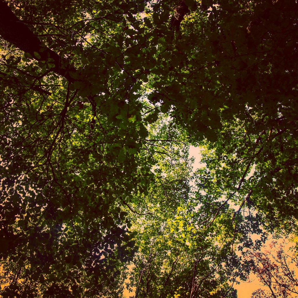
Doğa - Fotoğraf: Murat Taş |
| Orientation | 1 |
| Orientation of image |
| XResolution | 72 |
| Image resolution in width direction |
| YResolution | 72 |
| Image resolution in height direction |
| ResolutionUnit | 2 |
| Unit of X and Y resolution |
| Software | Instagram |
| Software used |
| YCbCrPositioning | 1 |
| Y and C positioning |
| ExifTag | 136 |
| Exif IFD Pointer |
| GPSTag | 226 |
| GPSInfo IFD Pointer |
| ExifVersion | |
| Exif Version |
| ComponentsConfiguration | |
| Meaning of each component |
| FlashpixVersion | |
| Supported Flashpix version |
| ColorSpace | 1 |
| Color space information |
| PixelXDimension | 1080 |
| Valid image width |
| PixelYDimension | 1080 |
| Valid image height |
| SceneCaptureType | 0 |
| Scene capture type |
| GPSLatitudeRef | N |
| North or South Latitude |
| GPSLatitude | 41:01:42.8 |
| Latitude |
| GPSLongitudeRef | E |
| East or West Longitude |
| GPSLongitude | 28:52:45.92 |
| Longitude |
| GPSAltitude | 47,86388 |
| Altitude |
| GPSTimeStamp | 05:22:20.78 |
| GPS time (atomic clock) |
| GPSDOP | 65 |
| Measurement precision |
| GPSDateStamp | 2016:08:27 |
| GPS date |
| Compression | 6 |
| Compression scheme |
| XResolution | 72 |
| Image resolution in width direction |
| YResolution | 72 |
| Image resolution in height direction |
| ResolutionUnit | 2 |
| Unit of X and Y resolution |
| JPEGInterchangeFormat | 522 |
| Offset to JPEG SOI |
| JPEGInterchangeFormatLength | 19697 |
| Bytes of JPEG data |
| IptcImageURL | http://galeri.netfotograf.com |
|

